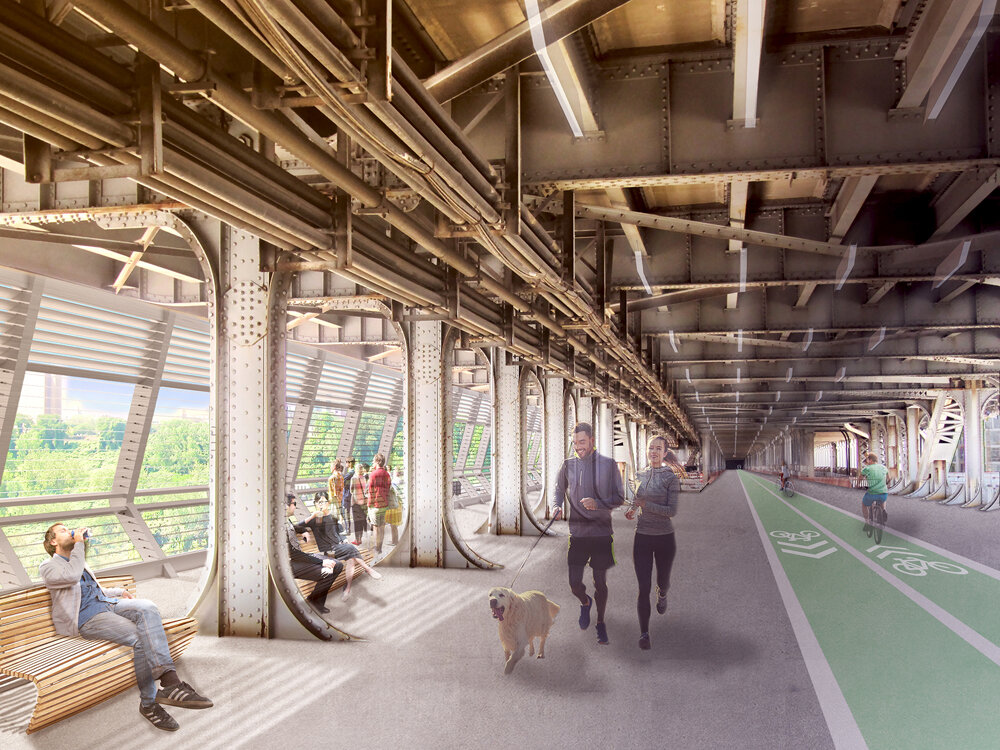
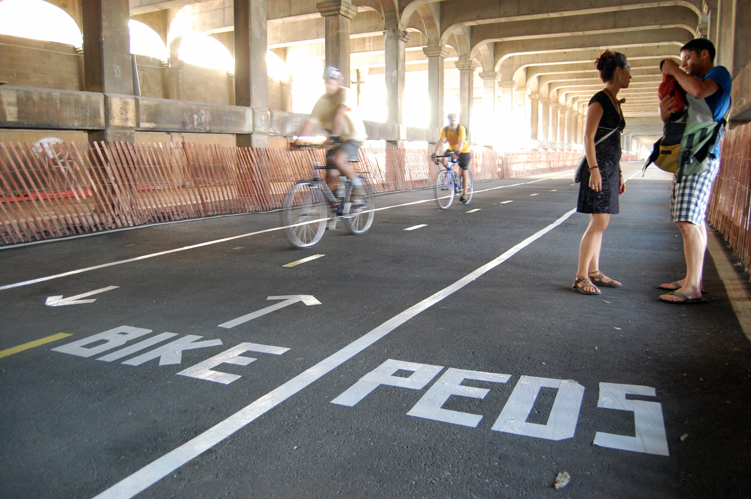
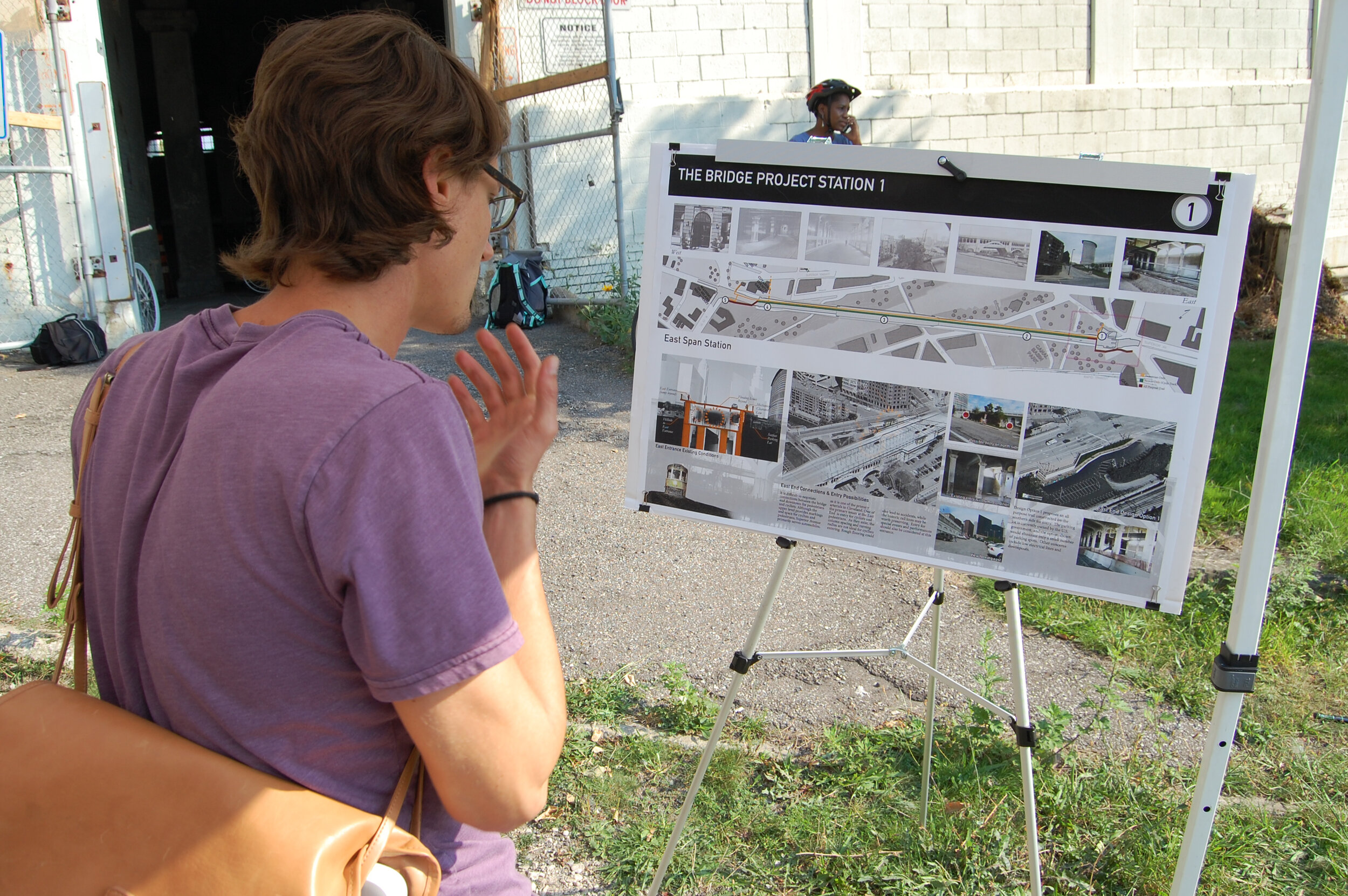
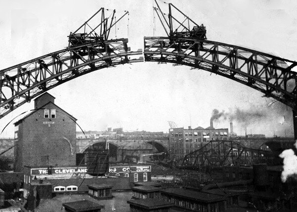
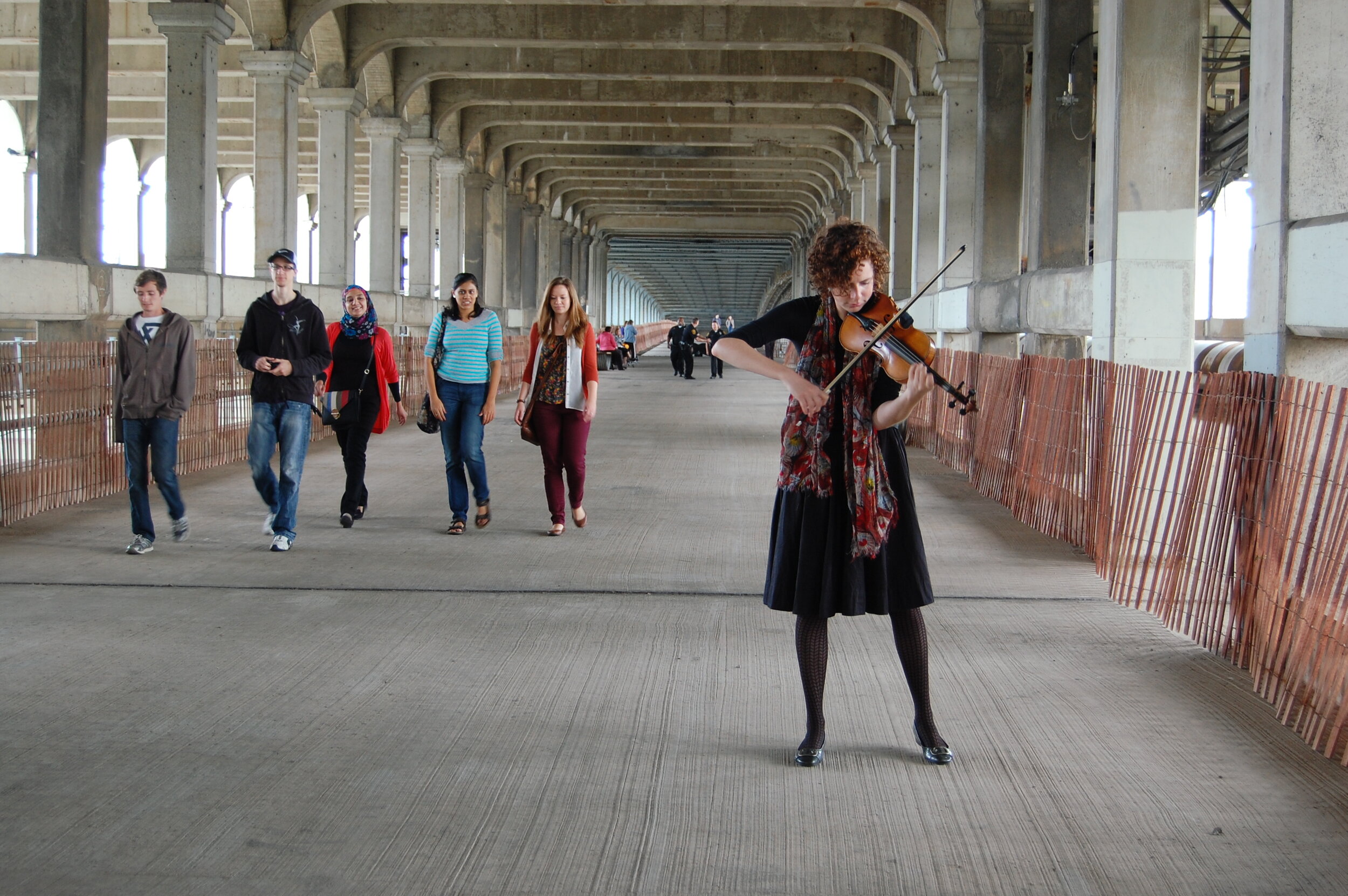
The Detroit-Superior Bridge Project Connectivity Plan builds upon previous plans for the Downtown Cleveland and near-west neighborhoods, with the intent of re-opening the former streetcar level of the bridge as a public thoroughfare for cyclists and pedestrians, and as a venue for events, programming, and recreation. The goal is to highlight the bridge as a unique historic and cultural destination amidst some of Cleveland’s most important civic landmarks while strengthening and multiplying connections between Downtown, the Flats, the Warehouse District, Ohio City, Detroit- Shoreway, and other destinations. The recommendations of the Transportation for Livable Communities Initiative (TLCI) report include:
Open the lower level of the bridge for daily pedestrian and cyclist use for daily commuters and recreational users. Improvements outlined in this report include necessary electrical, security/ safety, plumbing, and/or structural updates or enhancements.
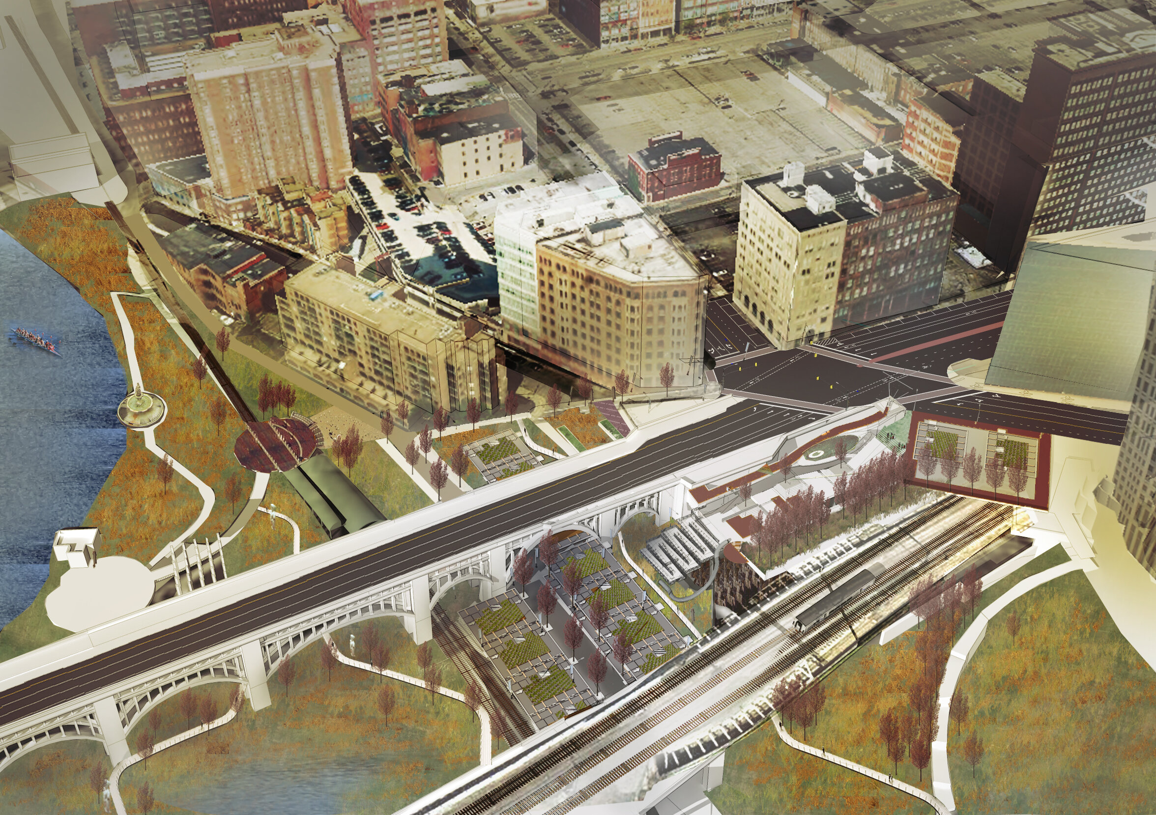
Provide and enhance connections to existing and future developments, including: the terminus of the Towpath Trail, Canal Basin Park, the Lakelink Trail, Settler’s Landing RTA Station, Ohio and Erie Canalway, the Superior Viaduct, and the proposed Ohio City Farm expansion.
Enhance the image and identity of the bridge to help foster civic identity and economic development opportunities built around the historic and scenic resources of the bridge and its surrounding area. This includes historical interpretation signage and programming, enhancing viewsheds of other prominent Cleveland historical landmarks, as well as arts programming, small-scale festival and retail opportunities, and performance space.
Strengthen multi-modal transportation connections through the improvement of sidewalks and crosswalks, bicycle networks, vehicular corridors, and public transit.
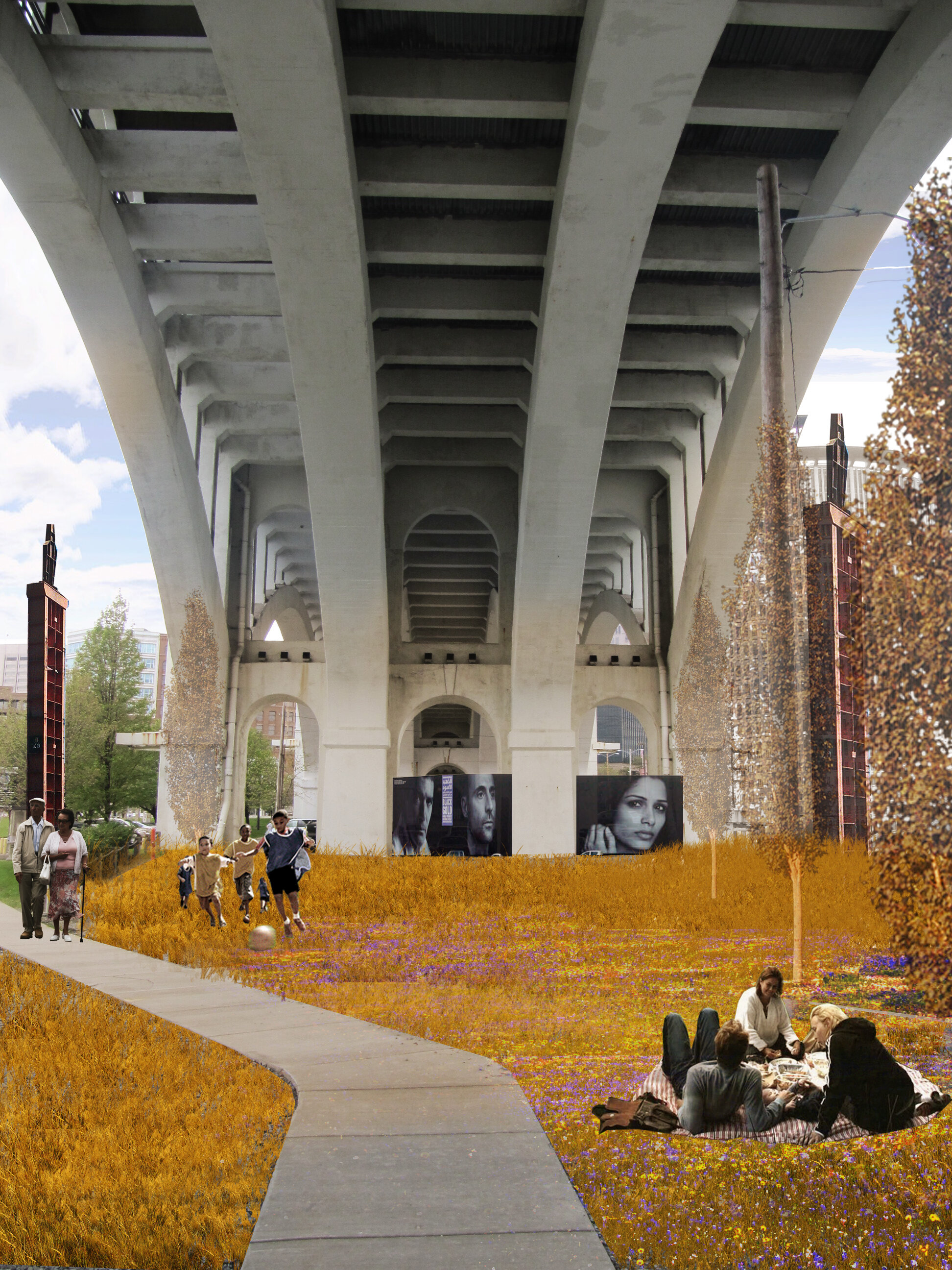
Improve and develop sites around the bridge to generate activity and nearby users for the bridge, and to help foster a sense of the bridge as a gateway to the near west side, the Flats, and downtown. This includes the possibility of future residential development at the west side of the bridge, and a landscape connection to the future Canal Basin Park and the Towpath Trail terminus.
Project Partners
City of Cleveland
Cuyahoga County Department of Public Works
Northeast Ohio Areawide Coordinating Agency
Ohio Department of Transportation
National Endowment for the Arts
Cuyahoga Arts & Culture
Ohio City, Inc.
The George Gund Foundation
The Cleveland Foundation
Third Federal Foundation
Environmental Design Group
The Coral Company
Cypress Research
Levin Ventures
Larissa Itomlenskis
Jimmy Kuehnle
